
What is Google Roads Management Insights, and why does it matter for your city?
Every city generates vast amounts of traffic data. The challenge isn’t a lack of information; it’s having access to the right data, at the right scale and speed, to make better decisions.
That’s the gap Google Roads Management Insights (RMI) was designed to address: turning complex, real-world transport data into actionable insights that help cities understand what’s happening on their roads and make more informed decisions.
What Is RMI
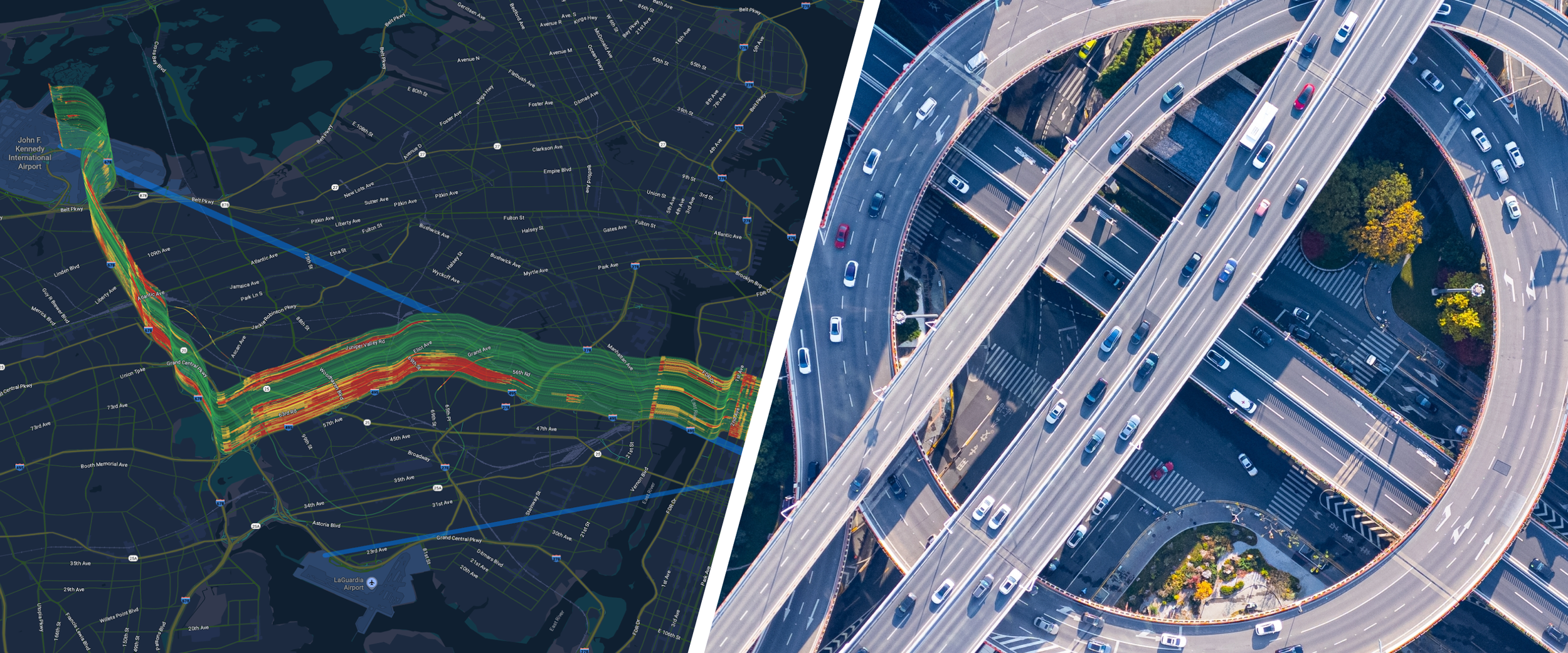
Roads Management Insights is a geospatial analytics product developed by Google Maps that provides road congestion data for user-defined routes, drawn from Google's global road network information. It's available in two forms:
Periodic collections: aggregated data built for long-term analysis, pattern recognition, and planning
Near-real-time streams: up-to-the-minute updates built for event detection and operational response
RMI gives city and regional planners and road authorities a single, authoritative view of how their roads are actually performing, without requiring them to own or operate any sensors.
Why This Is Different From What Cities Have Used Before
Traditional traffic monitoring, including sensors, CCTV, and manual counts, were never designed to scale. Expensive to install, expensive to maintain, and structurally incapable of covering an entire city network at once. Most authorities end up with concentrated data on only a handful of corridors.
RMI inverts that model. A city can go from monitoring a few key routes to monitoring its entire road network without laying a single cable.
Why It Matters for Your City
For a transport authorities, RMI translates into three core capabilities:
1. A city-wide view. Instead of stitching together data from fragmented, corridor-specific systems, RMI gives you one consistent dataset across the whole network, which means you can finally compare corridors on an equal level.
2. The ability to see problems before they're emergencies. Near-real-time streams surface sudden slowdowns or unusual patterns, the kind of signal that often precedes an accident report or an emergency services call.
3. A foundation for prediction, not just reporting. Because RMI data accumulates over time, it becomes the raw material for predictive models, forecasting where congestion is likely to form before it does.
The Bigger Picture
Traffic congestion is no longer a minor inconvenience. It has a very real-world impact on people, businesses and the environment. Every hour spent sitting in traffic is time lost from family and daily life. For businesses, congestion means wasted fuel, delayed deliveries, disrupted supply chains, and lost productivity. For cities, it contributes to increased emissions, poor air quality and broader health and environmental impacts. In Europe, it's estimated to account for roughly 1% of GDP, and by 2030, congestion across the UK, US, France and Germany is projected to cost $293.1 billion. Commuters in cities like London, Paris, and Rome are already losing 71-101 hours a year to gridlock. Every year a city operates on fragmented, sensor-based monitoring, is another year these costs continue to accumulate. The challenge isn't simply having more traffic data; it's turning that data into decisions that can make a measurable difference to how people and goods move.
RMI provides the underlying data. The next question is what a city does with it: who can act on it, how it connects to daily operations, and how quickly insights can translate into action. That's where a platform like TraceMark™ Flow comes in, taking RMI's raw intelligence and turning it into actionable intelligence that traffic operators, planners and logistics coordinators can use to identify issues, respond faster and make better decisions about how their roads operate.