TraceMark™ Flow: next-generation traffic monitoring and intelligence
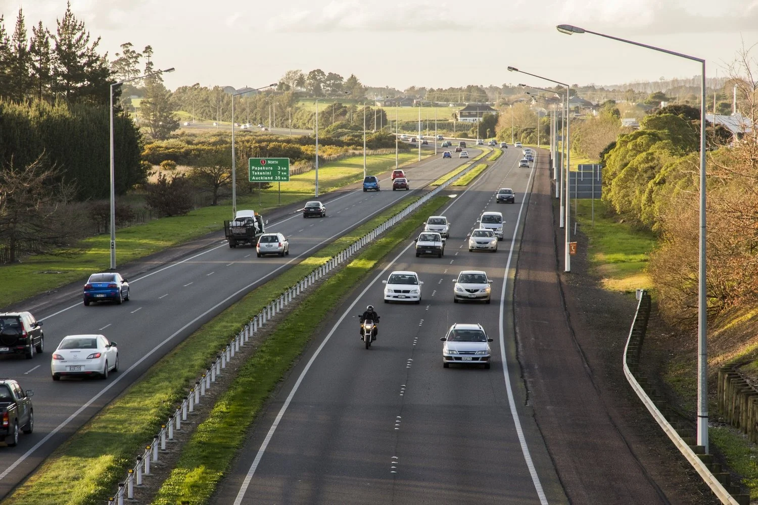
Developed by NGIS and powered by Google, our mission is to combat congestion and ensure the sustainable movement of people, goods, and services by monitoring traffic events and journey time reliability across road networks around the world.
Trusted by transport and technology partners

Why choose TraceMark™ Flow
TraceMark™ Flow brings together scalable traffic data, intuitive visualisation and powerful analytics to help transport teams understand, monitor and improve network performance.
-
See your whole network in days
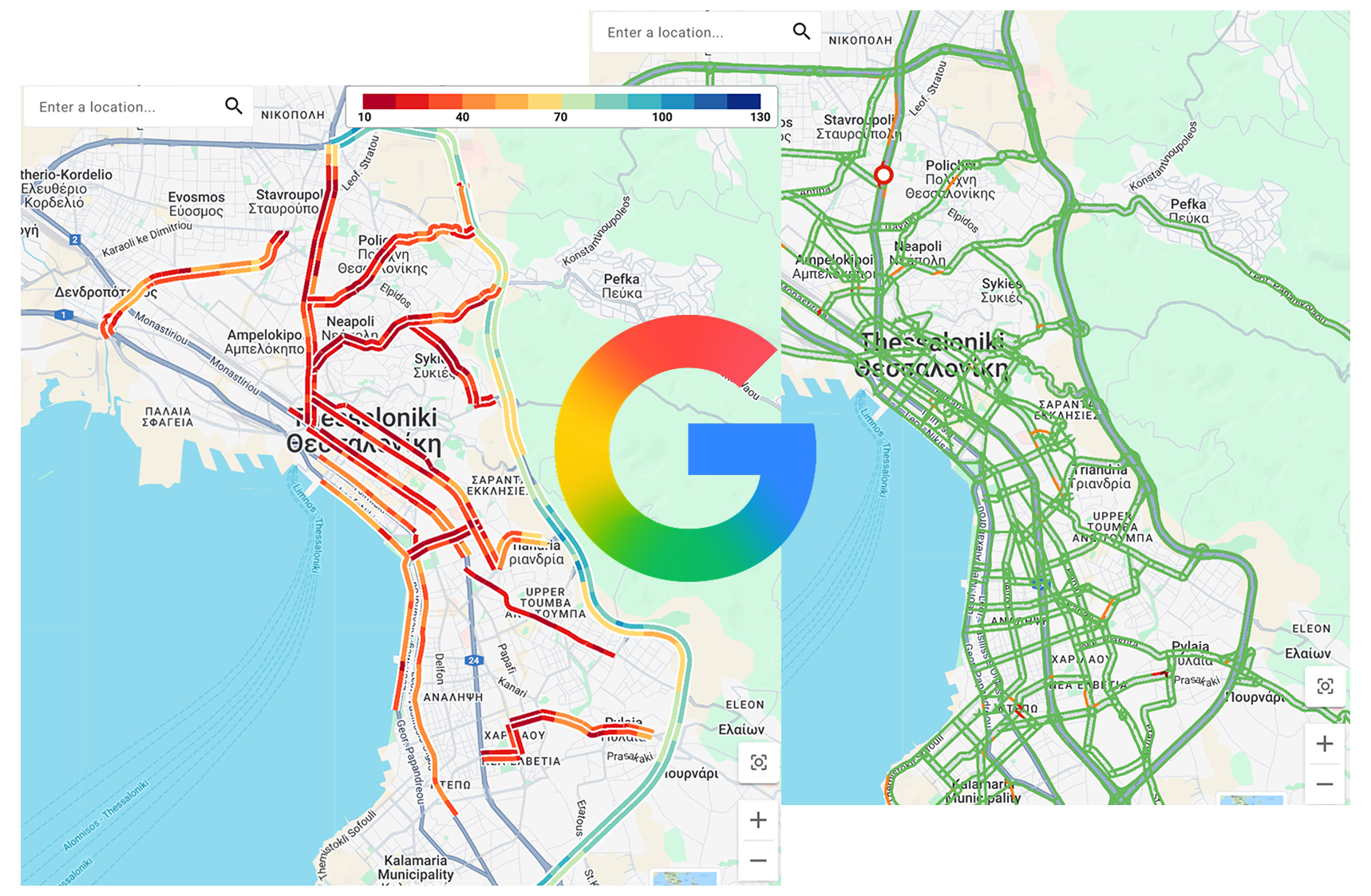
Get a city, state or country -wide view of travel times, congestion and network performance through a single, intuitive dashboard.
-
Measure what matters most
Monitor journey resilience, track network performance and use built-in reporting to demonstrate the impact of policy interventions.
-
Integrate with your existing systems
Connect road network intelligence to your existing application stack through APIs, making insights accessible across your operational systems.
-
Get ahead of congestion with AI insights
Use AI-powered prediction and traffic intelligence to identify emerging congestion and anticipate changing network conditions.
-
Speak Your Language
Deploy in your local language with full right-to-left layout adaptation, enabling consistent use across international agencies and multilingual operations teams.
-
Stay ahead with real-time alerts
Receive alerts when traffic conditions change or unusual congestion occurs, enabling teams to respond quickly to emerging network issues.
Built on Google Roads
Management Insights
Powered by Google Maps Roads Management Insights, TraceMark™ Flow leverages Google's existing road network data without the need for physical hardware. With real-time refresh rates and scalable global coverage across urban and rural road networks in more than 200 countries and territories, TraceMark™ Flow provides access to one of the world's most comprehensive road datasets.
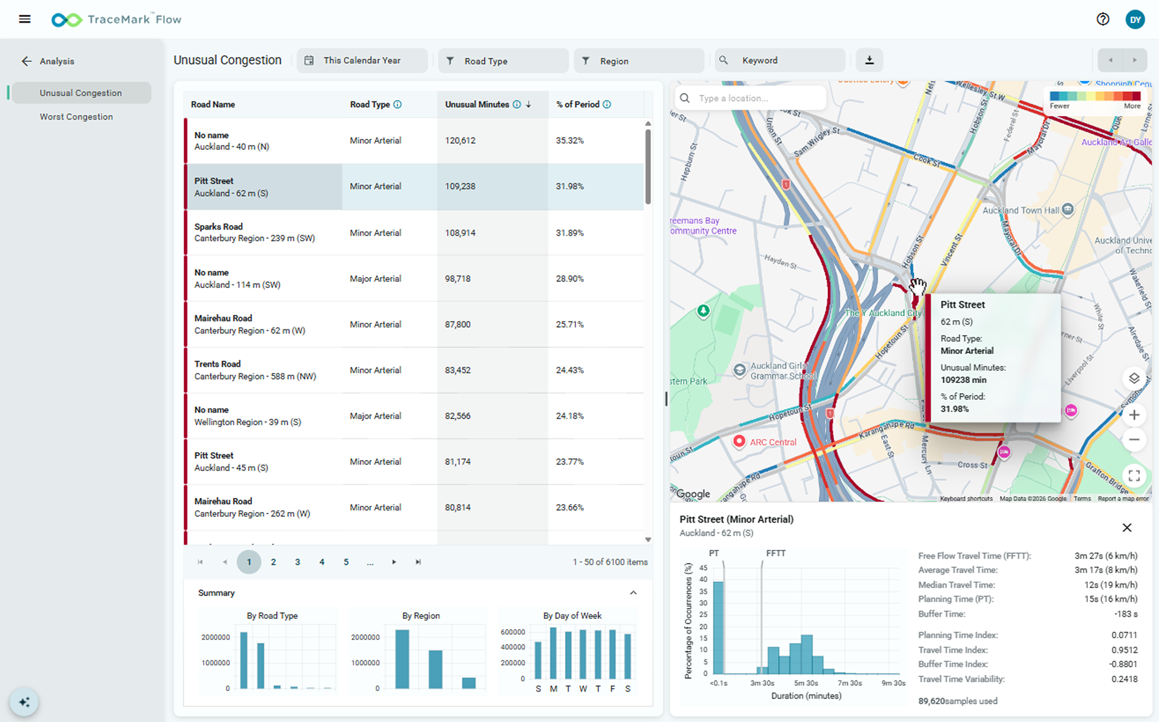
A solution for every stakeholder in your organsiation
-
Operations
Gain a comprehensive view of travel times, congestion and network performance through an intuitive dashboard.
-
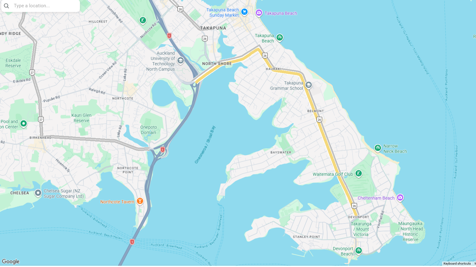
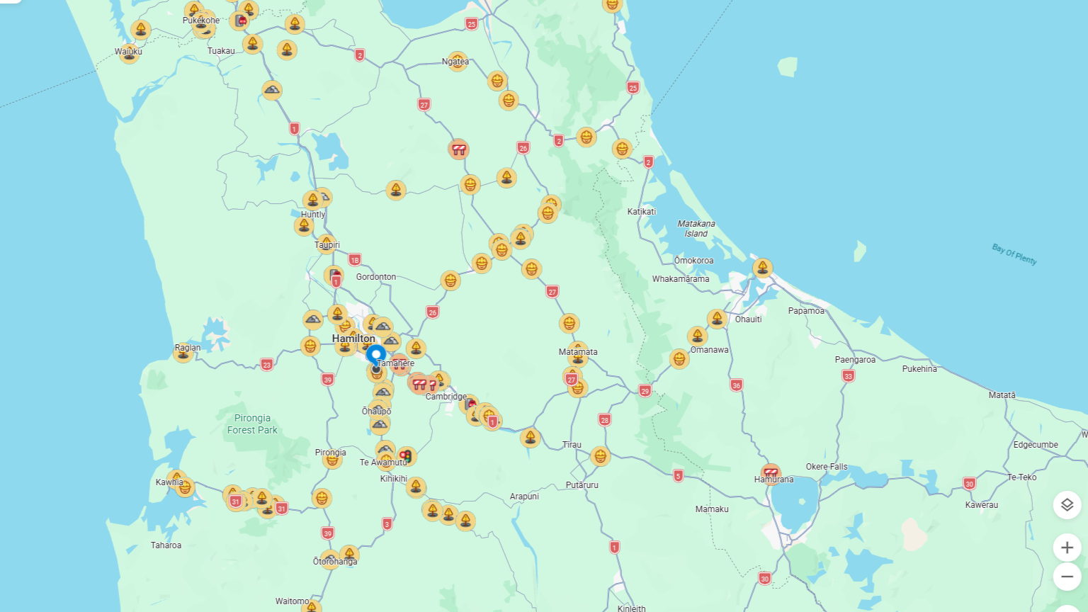
Transport Planners
AI-powered prediction helps planning teams identify emerging hotspots and patterns.
-
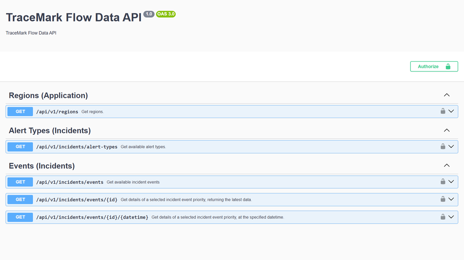
Technical Teams
Connect TraceMark™ Flow to your existing application stack with scalability, security and reliability.
Discover TraceMark™ Flow
See how TraceMark Flow reveals congestion hotspots, travel patterns, incident impacts, and corridor performance, live and historically.


Everything you just saw ran on Google Roads Management Insights.
No cameras, sensors or roadside hardware were installed to produce any of it. See it running on your own network.
Frequently asked questions
-
TraceMark™ Flow is a traffic monitoring and intelligence software as a service (SaaS) developed by NGIS built on Google Cloud and powered Google Maps Platform's Roads Management Insights. It gives road authorities a live, city-wide view of congestion and enables journey time reliability.
-
Google Roads Management Insights (RMI) provides aggregated insights into road network performance, using Google’s extensive mapping and traffic data to help organisations understand how roads are moving.
-
No. TraceMark™ Flow is powered by Google Roads Management Insights. There's no hardware to procure, install, or maintain.
-
Through Google Roads Management Insights, TraceMark Flow provides scalable global coverage spanning urban and rural road networks across over 200 countries and territories. This comprehensive traffic data is updated over 100 million times daily.
-
TraceMark Flow takes weeks to deploy, because there are no requirements for physical roadside hardware like CCTV or sensors, eliminating traditional infrastructure setup. The effort it takes to deploy TraceMark Flow is centred on customising the configuration for your needs.
-
Yes, TraceMark Flow can seamlessly integrate with your existing systems and software, providing real time intelligence and analytics.
-
Click here to reach out to our team to find our more about TraceMark Flow (link to contact us)
-
Click here to request a demo (link to demo sign up form)
CUSTOMER STORY
Auckland Transport
Auckland Transport (AT), the council-controlled organisation responsible for managing transportation across Auckland since 2010, keeps people and goods moving efficiently across the city's transport network. That gets harder as multimodal traffic grows and traffic light systems along key corridors need faster, smarter updates.