Home / Why TraceMark Flow
Traffic Intelligence. Zero Hardware Required.
How TraceMark Flow turns Google's road data into decisions your transport teams can act on.
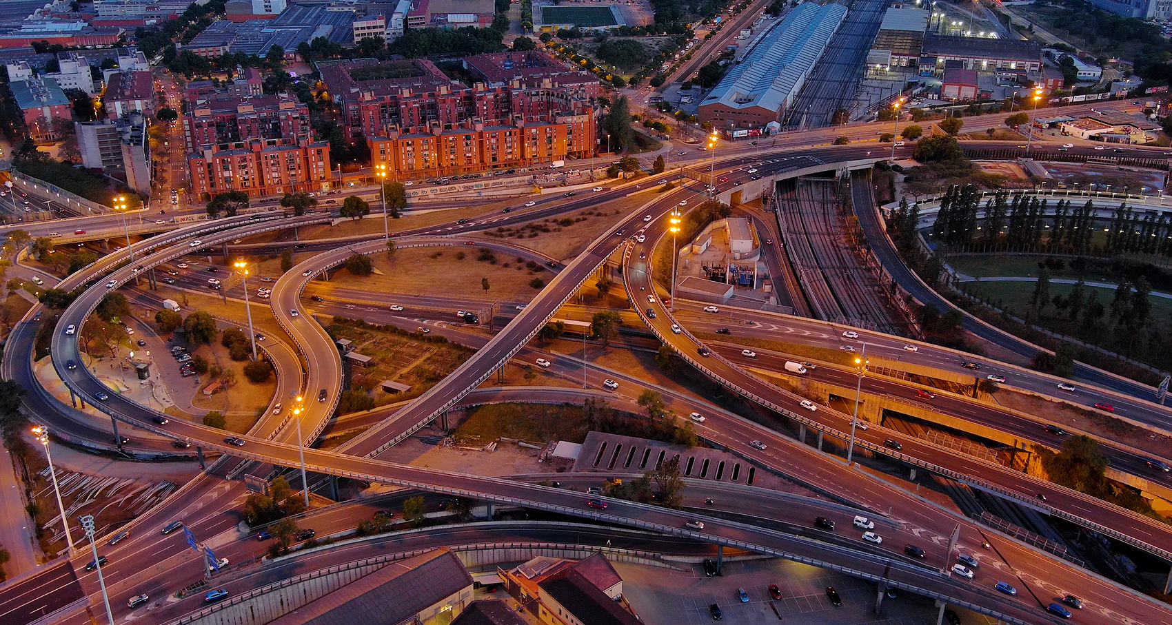
Turning Road Data into Actionable Intelligence
TraceMark™ Flow uses the processing power of Google Cloud technology to ingest, store, and process enormous amounts of complex mapping traffic and environmental data. Leveraging Google's enterprise-grade infrastructure and AI capabilities, TraceMark™ Flow enables organisations to store and analyse accurate, timely, and relevant traffic information to improve performance and city sustainability. Providing travel time intelligence for roads, identifying unusual congestion now and into the future whilst monitoring the journey resilience of key transport corridors using Google's comprehensive traffic data that's updated over 100 million times daily.
What is Google Roads
Management Insights
Google Roads Management Insights (RMI) provides aggregated insights into
road network performance, using Google's extensive mapping and traffic data to help organisations understand how roads are moving. From travel times and traffic conditions to network performance, RMI provides the underlying intelligence needed to monitor and analyse road networks at scale.
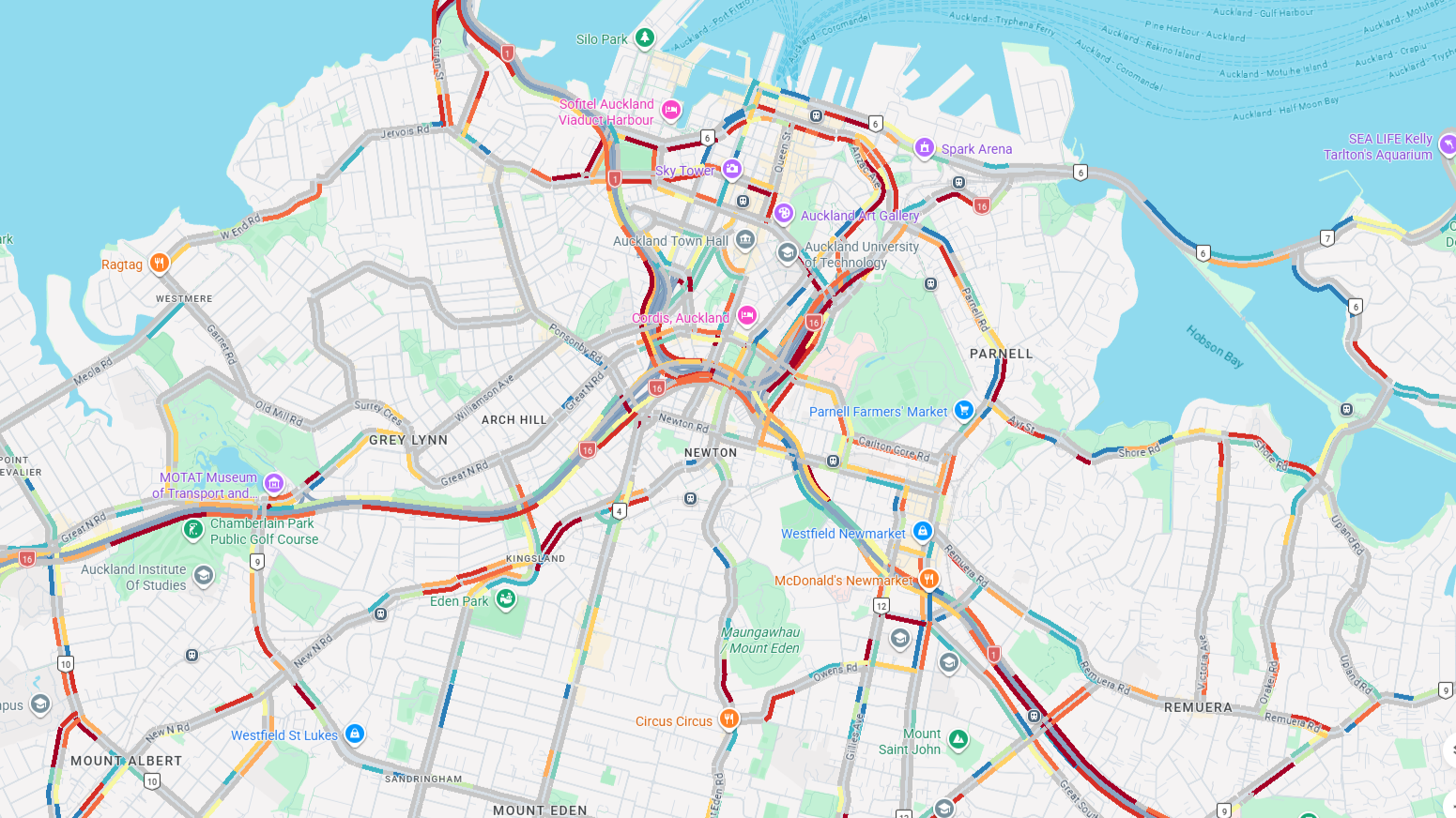
Discover TraceMark™ Flow
See how TraceMark Flow reveals congestion hotspots, travel patterns, incident impacts and corridor performance, live and historically.


Everything you just saw ran on Google Roads Management Insights.
No cameras, sensors or roadside hardware were installed to produce any of it. See it running on your own network.
CUSTOMER STORY
Abu Dhabi Situational
Awareness
Powered by Google Maps Roads Management Insights, TraceMark™ Flow leverages Google's existing road network data without the need for physical hardware. With real-time refresh rates and scalable global coverage across urban and rural road networks in more than 200 countries and territories, TraceMark™ Flow provides access to one of the world's most comprehensive road datasets.